Realtime Coastal Observation Network (ReCON) Station
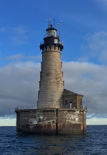
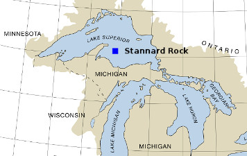
Stannard Rock Light
Location: 47° 11.010´ N,
87° 13.507´ W,
Depth: 4 ft (1.2 m)
 |
 |
| NOTE: Data for this location can be found on the NDBC page here: Stannard Rock Station (STDM4) |
Conditions around UNKNOWN TIME
|
 Data Plots Data Plots
|
|
|

|

|

|

|
|
|

|
||


 Station Data Files