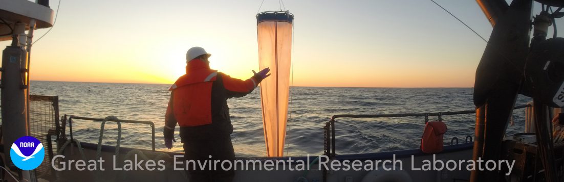
It’s nearly winter here in the Great Lakes—our buoys are in the warehouse, our boats are making their way onto dry land, and folks in the lab are working hard to assess observed data, experiments, and other results from this … Continue reading
Tag Archives: satellites

November 15, 2017
by Katherine Glassner-Shwayder
Comments Off on New algorithm to map Great Lakes ice cover
New algorithm to map Great Lakes ice cover
NOAA’s Great Lakes Environmental Research Laboratory (GLERL) is on the cutting edge of using satellite remote sensing to monitor different types of ice as well as the ice cover extent. To make this possible, an algorithm—a mathematical calculation developed at GLERL … Continue reading