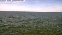
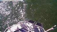
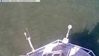
Realtime Coastal Observation Network (ReCON) Station
Toledo Channel Marker #2   Location: 41° 49.533´ N,   83° 11.617´ W,   Depth: 28 ft (8.5 m)
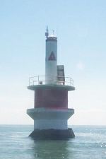
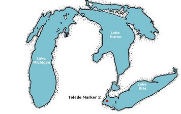
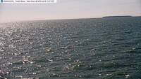
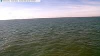
Photo of Station Map of Station Webcam Photos:
Webcam Photo #1 Webcam Photo #2
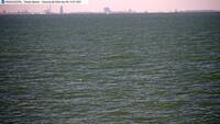
Webcam Photo #3 Webcam Photo #4
Webcam Photo #5 Webcam Photo #6

[Browse All Webcam Images]

[Browse Selected Webcam Images]

Conditions around 11:00 am EDT on Fri, Apr 26, 2024 (15:00 GMT)
NOTE: Italic values identify data that is not recent and may not reflect current conditions.

Dynamic plot icon  Dynamic Plots    Quick plot icon  Quick Plots
Air Data:   
Wind Speed: 12.18 kts (6.26 m/s) R.M. Young Wind Monitor
Maximum Wind Speed: 13.41 kts (6.90 m/s) R.M. Young Wind Monitor
Wind Direction: 72.1° (ENE) R.M. Young Wind Monitor
Air Pressure (sea level): 30.28 inHg (1025.14 hPa) R.M. Young Barometer
Air Temperature: 47.3 °F (8.5 °C) Vaisala Temp/RH Probe
Relative Humidity: 69.8 % Vaisala Temp/RH Probe
Dew Point: 38.0 °F (3.3 °C) Vaisala Temp/RH Probe
Solar Radiation: 797.1 W/m^2 Pyranometer
   
Water Near-Surface Data:   
Water Temperature (near surface): 47.1 °F (8.4 °C) Infrared Thermometer
   
Engineering Data:   
Solar Panel Voltage: 19.63 volts Campbell Logger
Battery Voltage: 14.41 volts SPC Board

Data icon  Station Data Files


With Support From:
GLRI Logo
Lake Erie Center Logo
U.S. Coast Guard
Coast Guard Logo

CIGLR Logo

CIGLR Logo

Project Team: