
NOAA - Great Lakes Environmental Research Laboratory

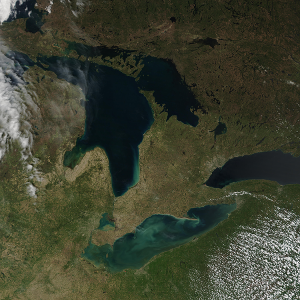
The Great Lakes Environmental Research Laboratory (GLERL) is a Federal scientific research facility based in Ann Arbor, Michigan, operating as part of the National Oceanic and Atmospheric Administration (NOAA) Office of Oceanic and Atmospheric Research (OAR). GLERL’s Ann Arbor facility houses experimental and marine instrumentation laboratories furnished with state-of-the-art equipment and technology to support GLERL’s scientific research. Integral to GLERL’s operation is the Lake Michigan Field Station (LMFS), strategically located on the eastern shore of Lake Michigan in Muskegon, Michigan. The LMFS serves as the home base for field operations, research, and GLERL vessel operations—critical assets in providing physical access to the Great Lakes and advancing NOAA’s mission in the region.
|
|
|
|
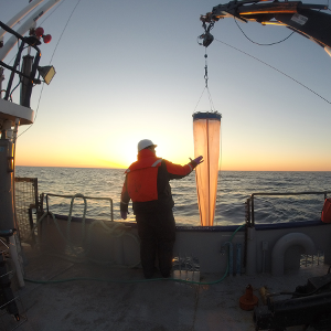
Observing Systems and Advanced Technology (OSAT) conducts scientific and engineering research and development, identifies emerging observational infrastructure needs, and provides environmental observations and data throughout the Great Lakes. |
Ecosystem Dynamics (EcoDyn) strives to monitor, analyze, understand, and predict changes in Great Lakes and coastal ecosystems to strengthen capacity for managing water quality, fisheries, invasive species, and ecosystem health. |
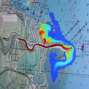
Integrated Physical and Ecological Modeling and Forecasting (IPEMF) conducts innovative research and development of numerical models to predict the physical, chemical, biological, and ecological response of the Great Lakes due to weather, climate, and human-induced changes. |
