


Map Explorer

Search for and map the extent of nonindigenous species via the USGS Nonindigenous Species database. Analyze with Great Lakes Aquatic Habitat Framework layers as well.
For a step-by-step Story Map on how to use the GLANSIS Map Explorer to create visualizations, display habitat layers, download data for use in a GIS program of your choice, and more, click here. A simplified text-only tutorial can be found here.
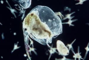
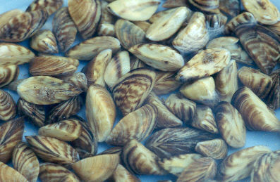
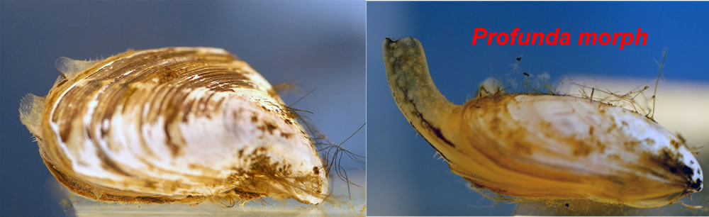
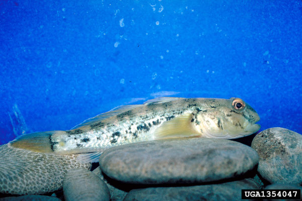
(Click for profiles)
Shape of map points and species status
The shape of a map point for a particular species represents its status for that location. Square (□) shapes indicate the species is established at that location, while circles (○) indicate the species was stocked, cultivated, collected, or of unknown status.
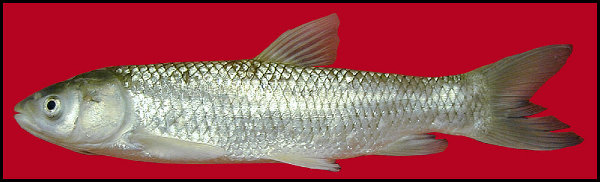
Quick map species: Click any of the 'hot button' species below to plot their extent across the US Great Lakes, Lake Champlain, and St. Lawrence states. If you would like to perform a search for a species in a specific area or collected at a certain time, click 'Start Over', select your search region and year below, and then click 'Search'.

Specific Species Search
Query for species, one-at-a-time, in the NAS database below. Results will be mapped above, and you may map up to 3 species at once. Clear the map with the 'Start Over' button.
Note: some emergent plants, bacteria, viruses, and parasites may not appear in the results for the Map Explorer. They do, however, appear in the List Generator.
Georeferenced Report Data
Below are the results of your most recent query in comma delimited format.
Associated References
Below are the references for the results of your most recent query in tab delimited format.
GLANSIS Database Download
Need more than 3 species? The entire current GLANSIS distribution data is updated weekly on Fridays to a text file. This dataset includes emergent plants, bacteria, viruses, and parasites.
Download Full DatasetAdditional Map Layer References
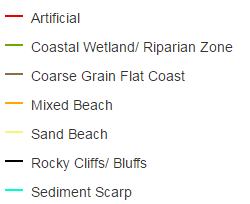
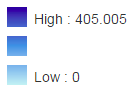
- Great Lakes Aquatic Ecological Classification via GLAHF
- For Killer Shrimp, Golden Mussel, and Snakehead habitat suitability layers:
Kramer, A.M., G. Annis, M.E. Wittmann, W.L. Chadderton, E.S. RUTHERFORD, D.M. Lodge, L.A. Mason, D. BELETSKY, C. Riseng, and J.M. Drake. Suitability of Great Lakes for aquatic invasive species basedon global species distribution models and local aquatic habitat. Ecosphere 8(7)(DOI:10.1002/ecs2.1883) (2017). Link to Kramer et al. (2017)
- For Hydrilla and Grass Carp habitat suitability layers:
Wittman, M.E., G. Annis, A.M. Kramer, L.A. Mason, C.M. Riseng, E.S. RUTHERFORD, W.L. Chadderton, D. BELETSKY, J.M. Drake, and D.M. Lodge. Refining species distribution model outputs using landscape-scale habitat data: Forecasting grass carp and Hydrilla establishment in the Great Lakes region. Journal of Great Lakes Research 4(2):298-301 (DOI:10.1016/j.jglr.2016.09.008) (2017). Link to Wittman et al. (2017)
- For Phragmites habitat suitability layers:
Carson Mazur, M.L., K.P. Kowalski, and D.M. Galbraith. Assessment of suitable habitat for Phragmites australis (common reed) in the Great Lakes coastal zone. Aquatic Invasions 9(1): 1–19 (DOI:10.3391/ai.2014.9.1.01) (2014)
- For invasive carp habitat suitability layers:
Alsip, P.J., G. ZHANG, M.D. ROWE, D.M. MASON, E.S. RUTHERFORD, C.M. Riseng, and Z. Su. Lake Michigan's suitability for bigheaded carp: The importance of diet flexibility and subsurface habitat. Freshwater Biology 64, 1921–1939. (DOI:10.1111/fwb.13382) (2019)