Station Map | Toledo Marker 2 | Toledo Harbor Light | Cleveland Central | Cleveland North | Grand Haven South | Alpena 

Realtime Coastal Observation Network (RECON) Station
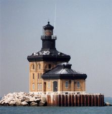
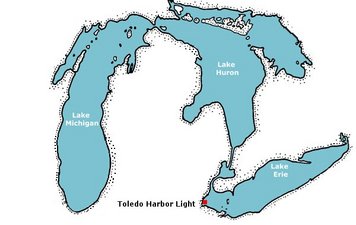
Toledo Harbor Light   Location: 41° 45.719´ N,   83° 19.737´ W,   Depth: 15 ft (4.6 m)

Photo of Station Map of Station


This station is no longer in operation.


Conditions around 3:00 pm EST on Mon, Nov 26, 2007 (20:00 GMT)
 Data Plots 
Water Data:   
Chlorophyll: 0.180 volts   [Nov 26] Turner Fluorometer
Phycocyanin: 0.020 volts   [Nov 26] Turner Fluorometer
   
Engineering Data:   
Battery Voltage: 8.32 volts   [Dec 14] Buoy Electronics
   
Signal Strength: -75.0 dB   [Dec 14] RSL at Shore Station
Data Throughput Rate: 0.171 Mbits/sec   [Sep 25] FTP Transfer Buoy to Shore

Last data download at Wed May 28 11:08:09 EDT 2008


Station Map | Toledo Marker 2 | Toledo Harbor Light | West Sister Buoy | Cleveland Central | Cleveland North | Grand Haven South | Grand Haven North | Alpena